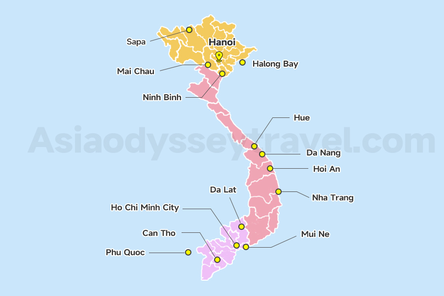
Da Nang Location Map: Where is Da Nang in Vietnam Located?
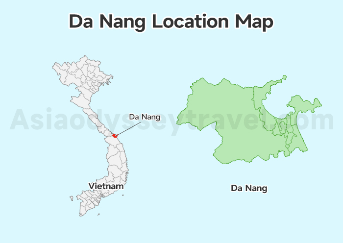
Where is Da Nang? In Central Vietnam. As Vietnam's third-largest city, Da Nang stretches along 30 kilometers of coastline, featuring beautiful beaches and is a popular tourist destination.
Follow the curve of the Han River - it divides the city into bustling districts like Hai Chau (city center) and Son Tra (home to the Marble Mountains). As a major port city, Da Nang borders Thua Thien-Hue Province (where Hue is located) to the north and Quang Nam Province (where Hoi An is located) to the south.
The city spreads along a beautiful bay, featuring:
- My Khe Beach on the east (named one of the world's most beautiful beaches by Forbes)
- Son Tra Peninsula (Monkey Mountain) to the north
- Ba Na Hills to the west, home to the famous Golden Bridge.
Da Nang City Map: Find Airport, Railway Station & Accommodation Area
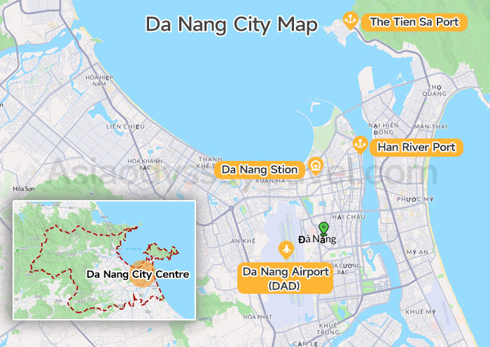
This Da Nang City map shows everything you need for Da Nang city: airports, trains, places to sleep, and great food spots. It helps you find things fast so you can enjoy the beach and city without stress.
Transportation Hubs
- Da Nang International Airport is located in Hai Chau District, just 3km southwest of the city center. From the airport to city center, it's a 10-15 minute taxi ride.
- Da Nang Railway Station sits in Hai Chau District, about 2km from the city center. It's a 5-10 minute taxi ride or 20-minute walk to central areas. The station connects to Vietnam's north-south railway line.
- Han Port is located along the Han River, about 1km from the city center, primarily serving cargo ships and some river cruises.
- The Tien Sa Port is on Son Tra Peninsula, 10 km northeast of downtown. A taxi ride there takes 20 minutes.
Recommended Accommodation Areas:
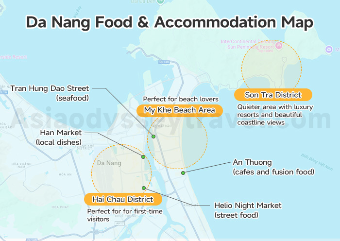
My Khe Beach Area: Perfect for beach lovers, lined with hotels offering ocean views
Hai Chau District (City Center): Ideal for first-time visitors, close to restaurants and shopping. And for cheap or mid-range hotels near markets.
Son Tra District: Quieter area with luxury resorts and beautiful coastline views.
Food Lovers Should Go To:
Eat at Helio Night Market (street food), Tran Hung Dao Street (seafood), Han Market (local dishes), or An Thuong (cafes and fusion food).
Da Nang Tourist Map: Top Da Nang's Attractions on Map
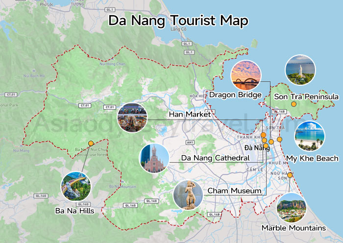
This Da Nang tourist map showcases Da Nang's must-visit attractions, helping you plan an efficient sightseeing route. Let me guide you through the city's iconic landmarks:
Western Side
In the west, Ba Na Hills features the Instagram-famous Golden Bridge, held by giant stone hands, and a French-style village with the world's longest cable car system.
Eastern Coast
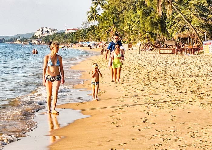
My Khe Beach, nicknamed "China Beach" rated by Forbes as one of the world's most beautiful beaches, offers pristine white sand and perfect surfing conditions.
The Son Tra Peninsula (Monkey Mountain) in the northeast provides panoramic city views and hosts the 67-meter Lady Buddha statue, Vietnam's tallest.
The Marble Mountains in the southeast. It has Five sacred limestone hills with hidden caves and temples. National Geographic's top pick for spiritual hiking.
City Center
In the city center, the Dragon Bridge spans the Han River, becoming a must-see spectacle when it breathes fire and water on weekend nights.
Nearby, the Han Market buzzes with local life and regional specialties. The Da Nang Cathedral, known as "Pink Church," stands as a striking example of French colonial architecture in the heart of the city.
And the Cham Museum: Houses the world's largest collection of Cham sculptures (4th–14th century).
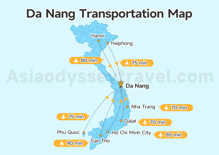
Da Nang Transportation Map: Transfer to Da Nang & Da Nang Day Trip Map
For seamless travel planning, these comprehensive Da Nang transportation maps highlight Da Nang's connections to major Vietnamese tourist cities and popular day trip destinations.
From Other Vietnam's Cities to Da Nang
Da Nang Day Trip Map: Ba Na Hill, Hoi An & Hue
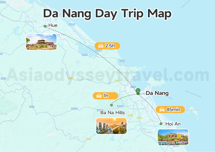
This Da Nang day trip map helps you explore three iconic destinations in Central Vietnam, showing convenient routes and travel times from Da Nang city center.
These destinations form a perfect triangle around Da Nang, making it an ideal base for exploring Central Vietnam's cultural and natural highlights.
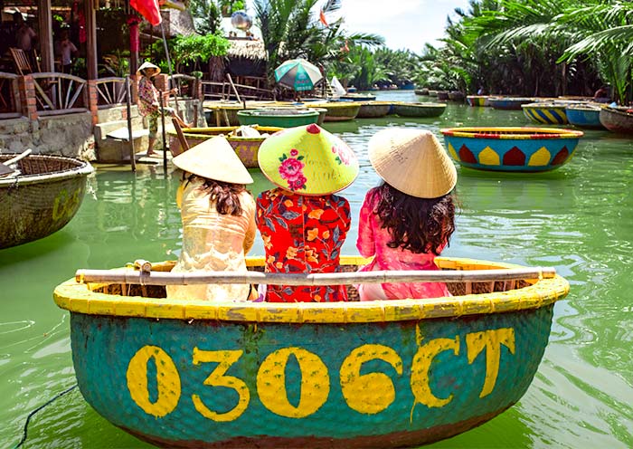
Hoi An (South - 30km): A 45-minute drive. This UNESCO World Heritage site charms visitors with its preserved ancient town, featuring Japanese merchant houses, Chinese temples, and romantic lantern-lit streets. Famous for tailored clothing and cooking classes.
Ba Na Hills (West - 35km): A 1-hour drive. A French colonial hill station featuring the iconic Golden Bridge, European-style village, and world's longest cable car system. At 1,487 meters elevation, it offers cool mountain air and spectacular views.
Hue (North - 100km): A 2.5-hour drive through the scenic Hai Van Pass. The former imperial capital showcases UNESCO-listed monuments including the Imperial Citadel, royal tombs, and Thien Mu Pagoda. Known for its royal cuisine and historical significance.
Hue Vietnam Map: Hue Imperial City Map & Tourist Map
Hoi An Maps: Hoi An Old Town Map & Tourist Map
Travel with Asia Odyssey Travel (AOT) to Explore Vietnam
As Asia-based travel experts, Asia Odyssey Travel is here to help you enjoy the best of Vietnam. We create easy, fun, and authentic local tours that take you from the country's classic highlights to its most unique destinations.
Our Vietnam Tours at a Glance:
✅ Vietnam Tours - 10+ Best Tour Packages
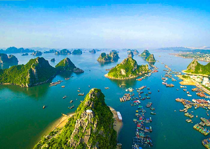
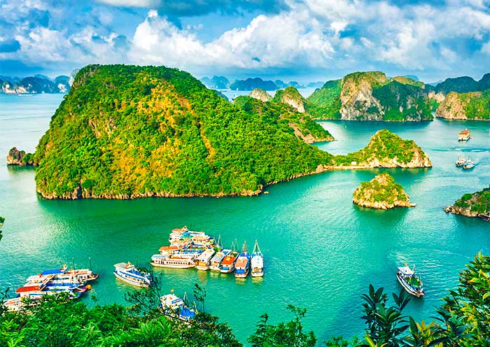
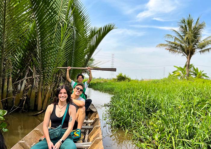
✅ Top Vietnam Destinations: Hanoi, Ho Chi Minh City, Hoi An, Halong Bay, Mekong Delta
Helpful Articles for Your Vietnam Trip:
- Vietnam Travel Guide → All you need to know before you go.